In this interview, we speak with Marie Stetzler and Kai-Uwe Eiselt from UiT – The Arctic University of Norway, who share how Troms county is addressing the growing challenges of climate change. From visualising flooding and snow hazards with Digital Twins and Virtual Reality, to improving avalanche forecasts with machine learning, the Arctic demo site is using innovative tools and flexible adaptation pathways to support local authorities and communities.
According to the European Committee of the Regions, 90% of climate change adaptation measures are undertaken by local and regional authorities. Looking at your own region, do you think the local authorities have the resources to implement these measures? What do you think they are missing?
UiT: “While some planning measures exist, such as restrictions on building close to the coastline to prevent damage from sea level rise, they can be politically very controversial, according to our experts Prof. Torill Nyseth and Dr. Arild Buanes. Local authorities also lack the financial capacity for large scale infrastructure investments and often face shortages in technical competence and administrative capacity.”
Have locals, policymakers or businesses generally become more vocal about changes in their environment due to climate change?
UiT: “There is a gradual shift across all sectors of society towards greater awareness of climate change. Some political parties now have climate change as a high priority at the local level. Some businesses have made changes in their construction strategies, for instance by no longer placing technical infrastructure on the ground floor to reduce flood risks. However, public communication or vocal advocacy remains limited.”
You have been developing climate adaptation packages in the project. Is there one measure that has stood out to you, or that you’re most proud of?
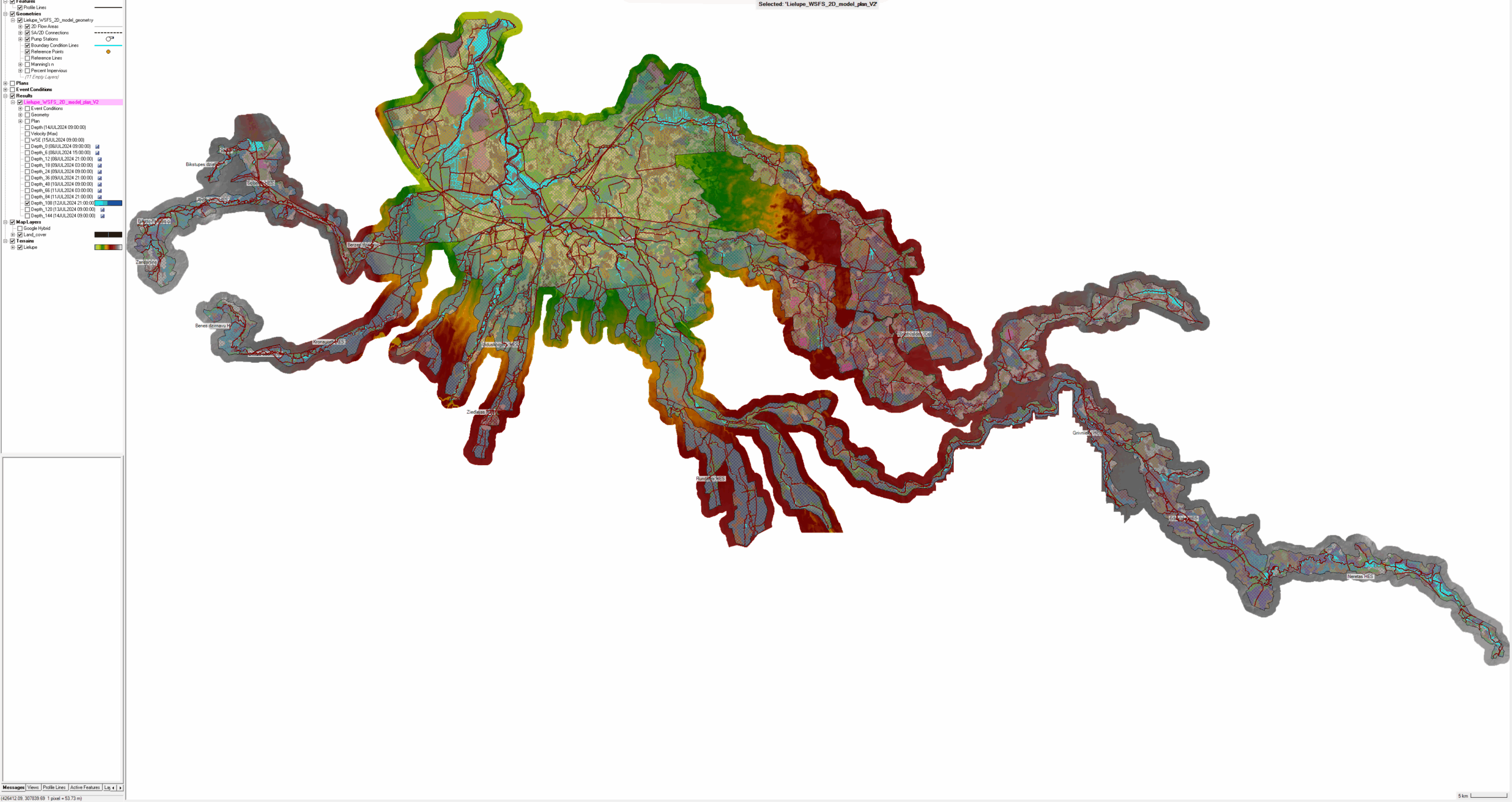
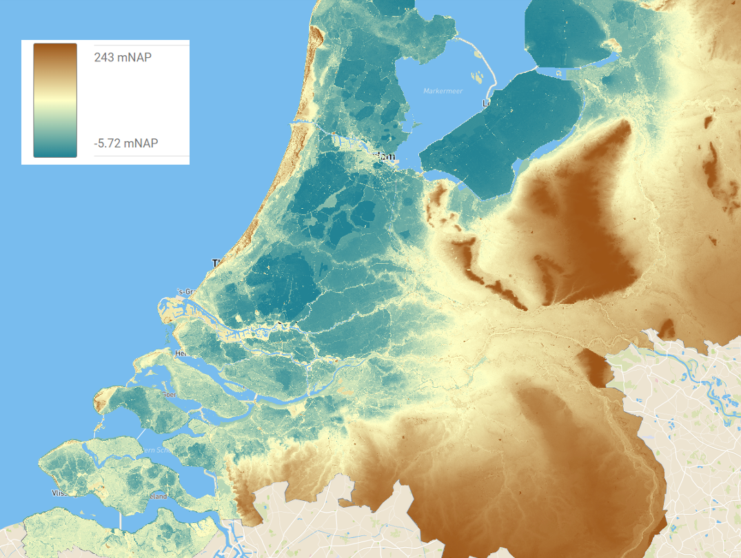
UiT: “Each solution in our climate adaptation packages has its unique set of challenges and will contribute to Troms’ climate resilience in different ways. Among the most visually striking tools are the Virtual Reality simulation of flooding of the Tromsø municipality harbor, and the visualization of marine- and geohazards through the Digital Twin of Tromsø and the Marine Spatial Planning platforms. These tools improve outreach and are insightful planning tools.
In addition, we also gained important new insights into slush flows and snow hazards through the project. Our work on slush flow classification and its potential implementation into a national forecast system may improve snow hazard forecasts. Moreover, we developed applications based on machine learning to support more accurate avalanche predictions.
Lastly, our work on the Adaptation Pathways – a challenging and relatively new topic for many stakeholders – led to concrete and flexible recommendations for decisionmakers on how to adapt to evolving future snow hazards.”
Throughout the project, you collaborated with partners from the six other demonstration sites. Were you surprised to find any problem (or solution) that was common to another demosite?
UiT: “Like other demo sites, we faced challenges in maintaining stakeholder engagement, which could have been mitigated by including some SH from the very beginning, ideally form the drafting phase of the project. This would guarantee sufficient resource allocation towards stakeholders for optimal collaboration. Continuity was also an issue, but we managed to bridge gaps. On the solutions side, it was inspiring to witness how each demo site used the adaptation pathway tool in different ways. It is a nice testimony of this tool’s versatility.”
What are the next steps for your demosite, and for your research?
UiT: “The next steps for our DS are finding ways to disseminate our tools and solutions and to implement them into operational systems. For example, we plan to implement the slush flow classification system into the national slush flow early warning system. The Marine Spatial Planning tool is in the process of being implemented to other departments within Troms county.
On the research side, we are working on improving avalanche forecasts using machine learning, and on improving understanding of seasonal snow hazard forecasts. We are preparing a project proposal for a research grant to continue this work after the conclusion of IMPETUS. Furthermore, our team is currently writing several scientific papers about the Digital Twin, about slush flow classification and hazard indication maps for specific slush flow types, on machine-learning based avalanche predictions, and on adaptation pathways for local decision makers.”
One of the tools you developed was a Digital Twin for freshwater and marine management, and as a planning tool. Were there any unique challenges in developing these tools to be used in to achieve sustainability and commercial goals?
UiT: “The main challenge was not developing the tool, but ensuring its maintenance and future development. “
The Arctic demonstration site shows how a combination of cutting-edge technology, practical planning tools, and flexible adaptation strategies can strengthen regional climate resilience. By integrating stakeholder input, visualising hazards, and advancing new research, the team is paving the way for smarter, data-driven decision-making. As these solutions are implemented and scaled, Troms county offers an inspiring example of how local authorities and researchers can work together to adapt to a changing climate. The interview was held with support from Prof. Torill Nyseth, researchers Arild Buanes and Christopher D’Amboise, and Kari Elida Eriksen