Finding the heat-spot: tracking and preempting wildfires, droughts and floods in Greece and beyond

| |

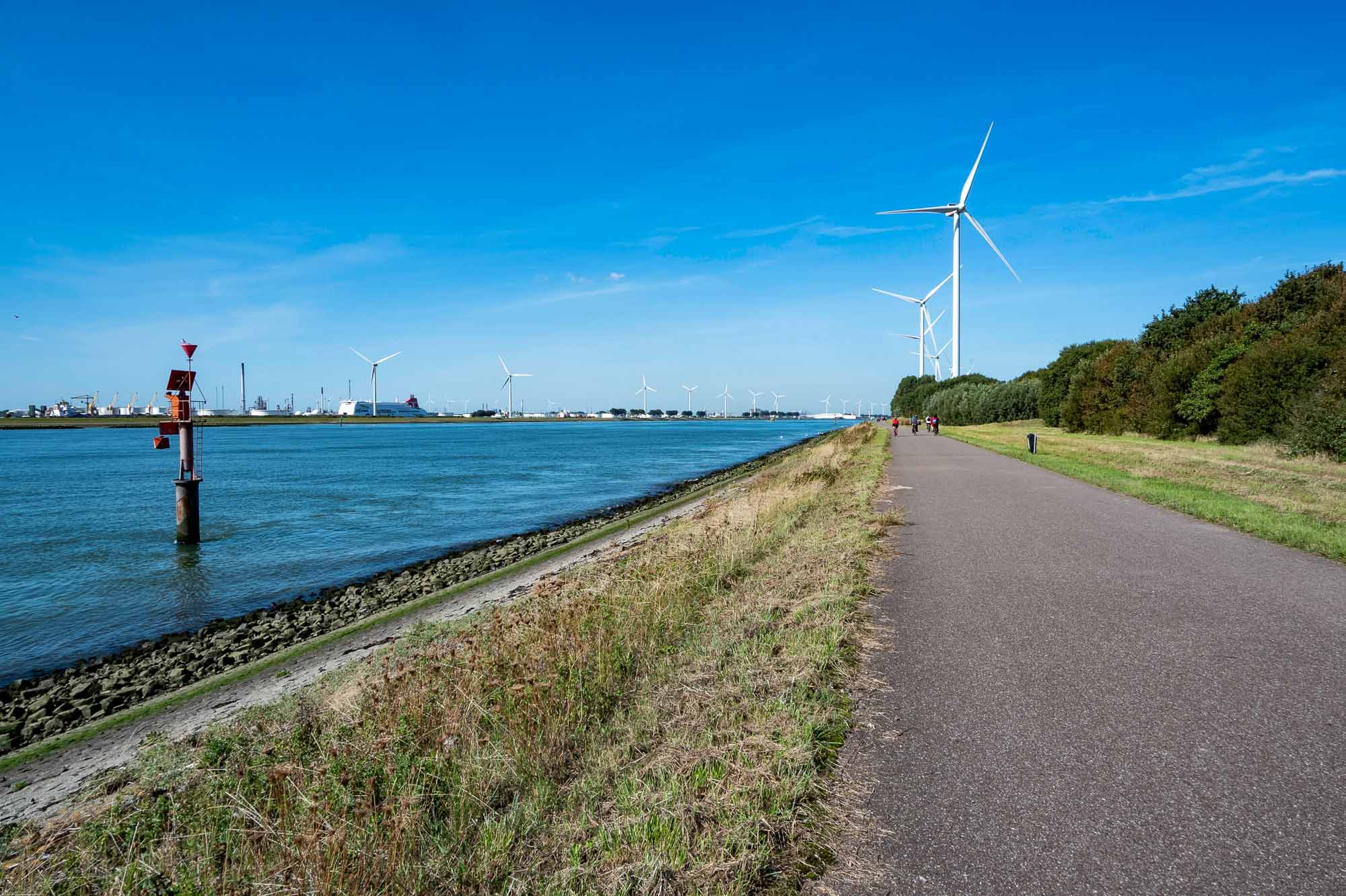
In recent years, Greece, like several countries in the Mediterranean, has faced an escalating environmental crisis, with wildfires, flash floods, and extreme weather events underscoring the need for EU-wide solutions to climate adaptation. Partners of the EU-funded IMPETUS project are working to find such solutions.

Last summer, Greece grappled with a relentless series of wildfires that have left a lasting impact on the nation. Over the last three years, approximately 321,000 acres of land have been consumed by these devastating fires, equivalent to five times the area of Athens.

Addressing the effects of the climate crisis has become increasingly urgent as wildfires, flash floods, and extreme weather events have taken their toll, causing both economic and human losses. Mediterranean countries like Greece are particularly susceptible to the adverse effects of climate change, as the region is experiencing warming at a pace significantly faster than the global average.

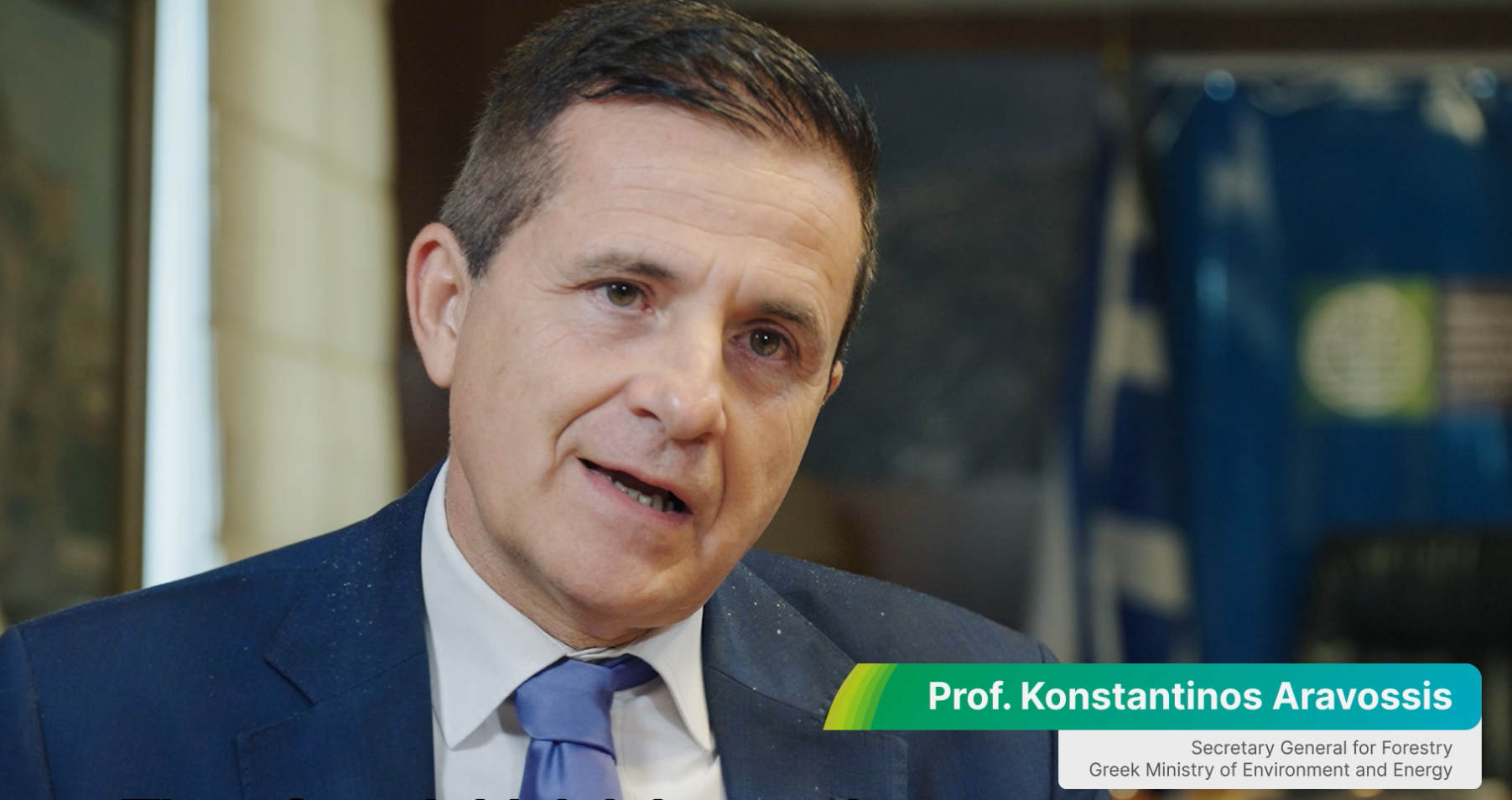
Professor Aravossis from the Ministry of Environment and Energy in Greece emphasizes the need for immediate action, stating, “We had deaths, people not only suffering economically, but also we had the people that lost their lives. Therefore, I think it is very important to act now.”

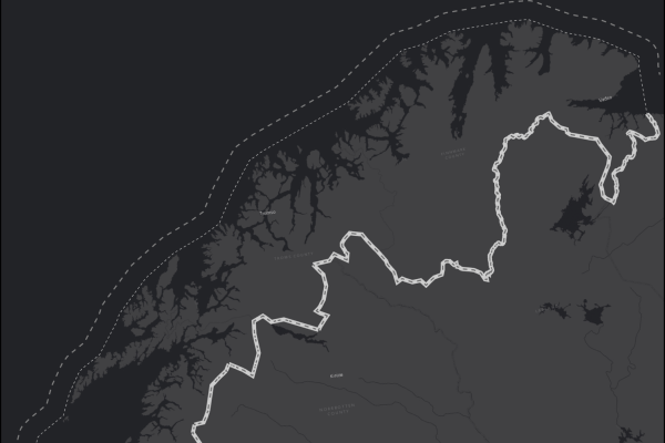
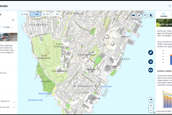
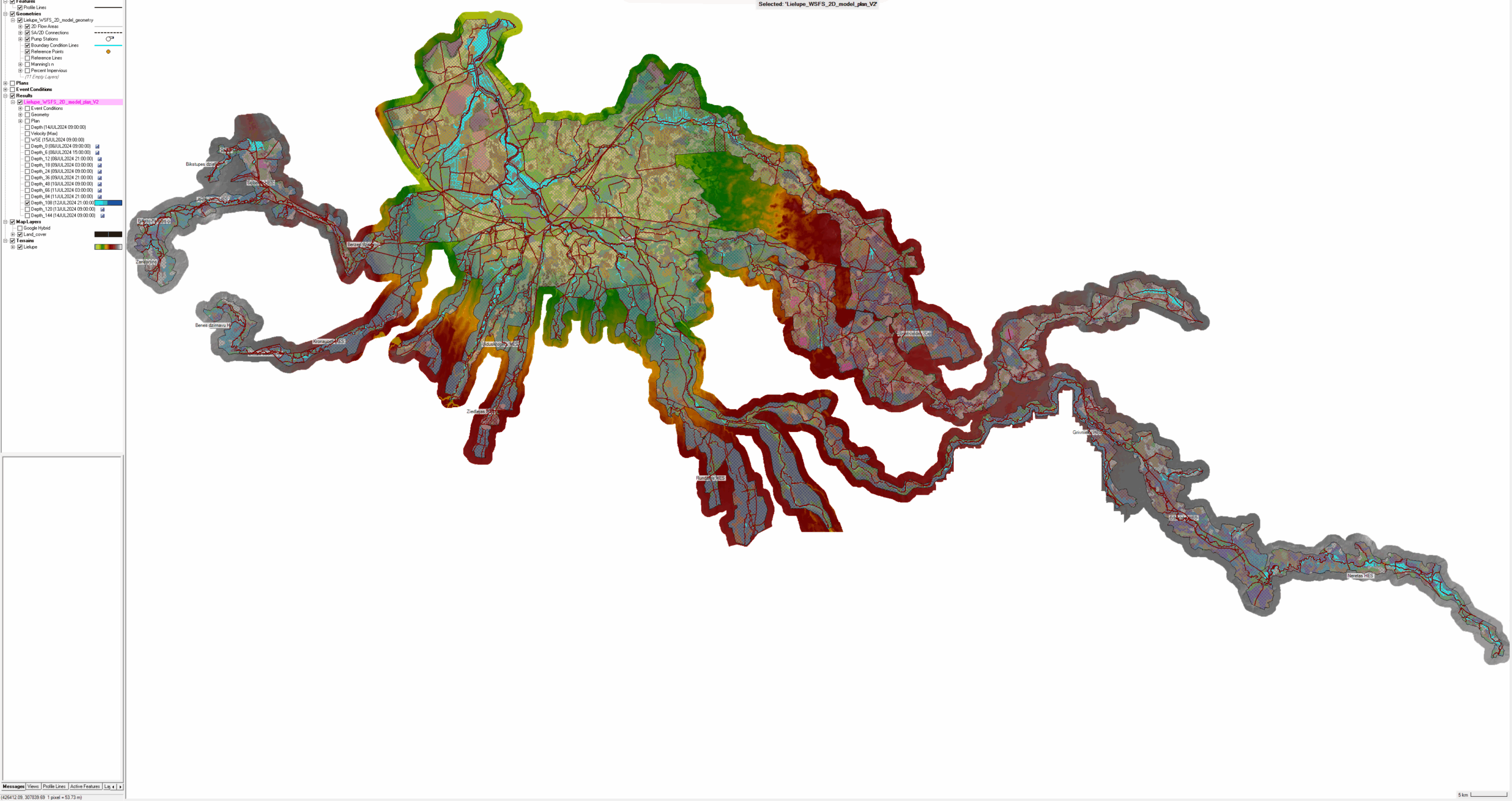
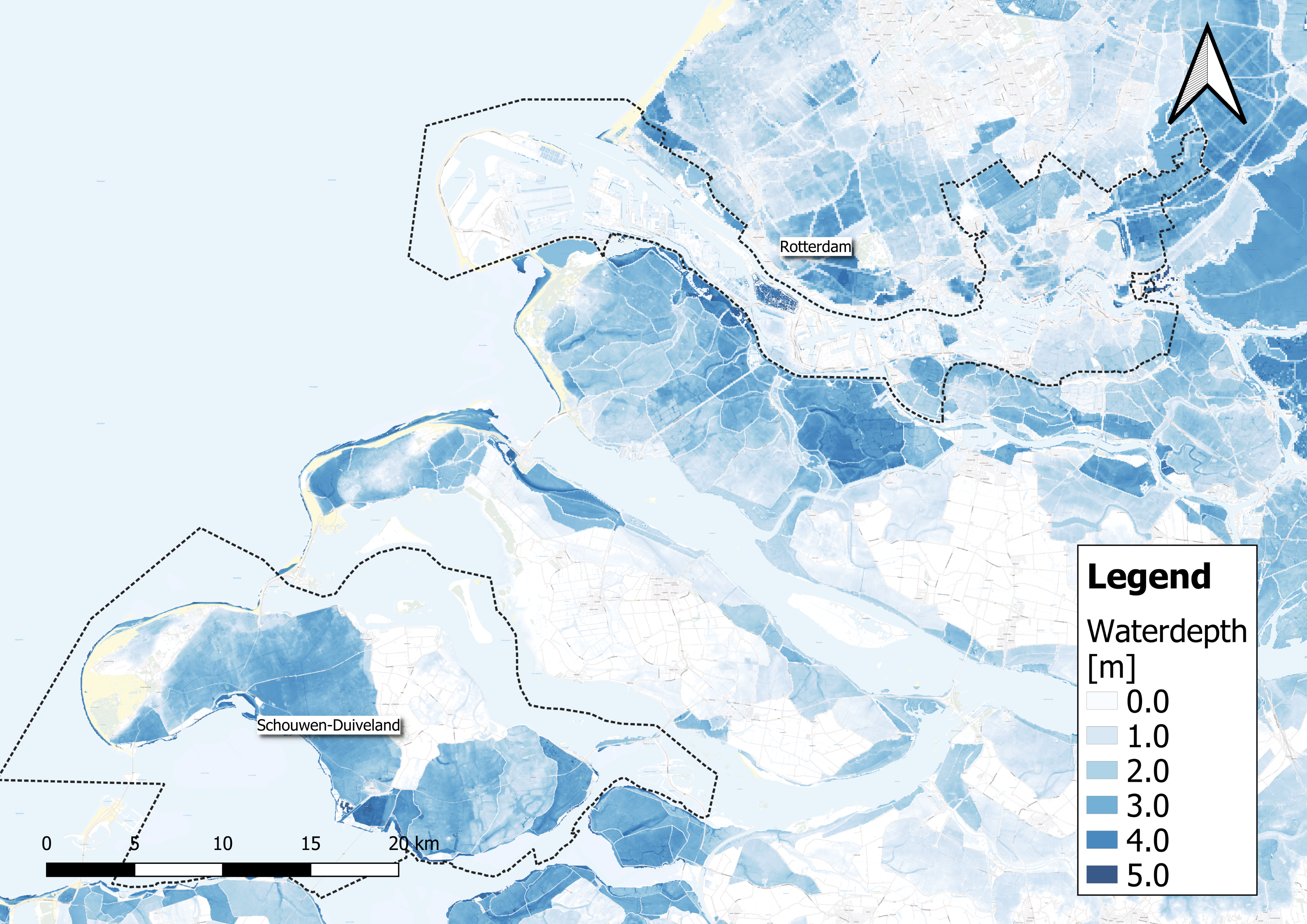
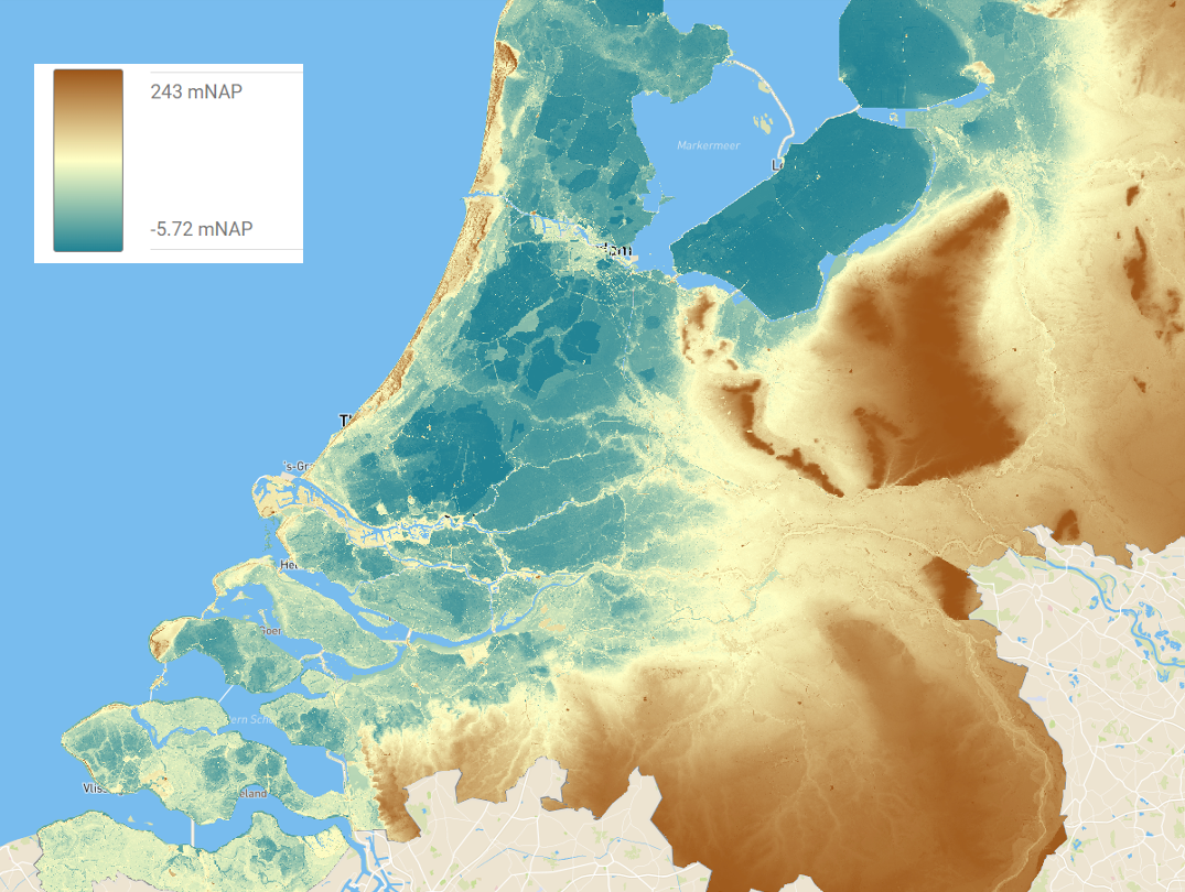
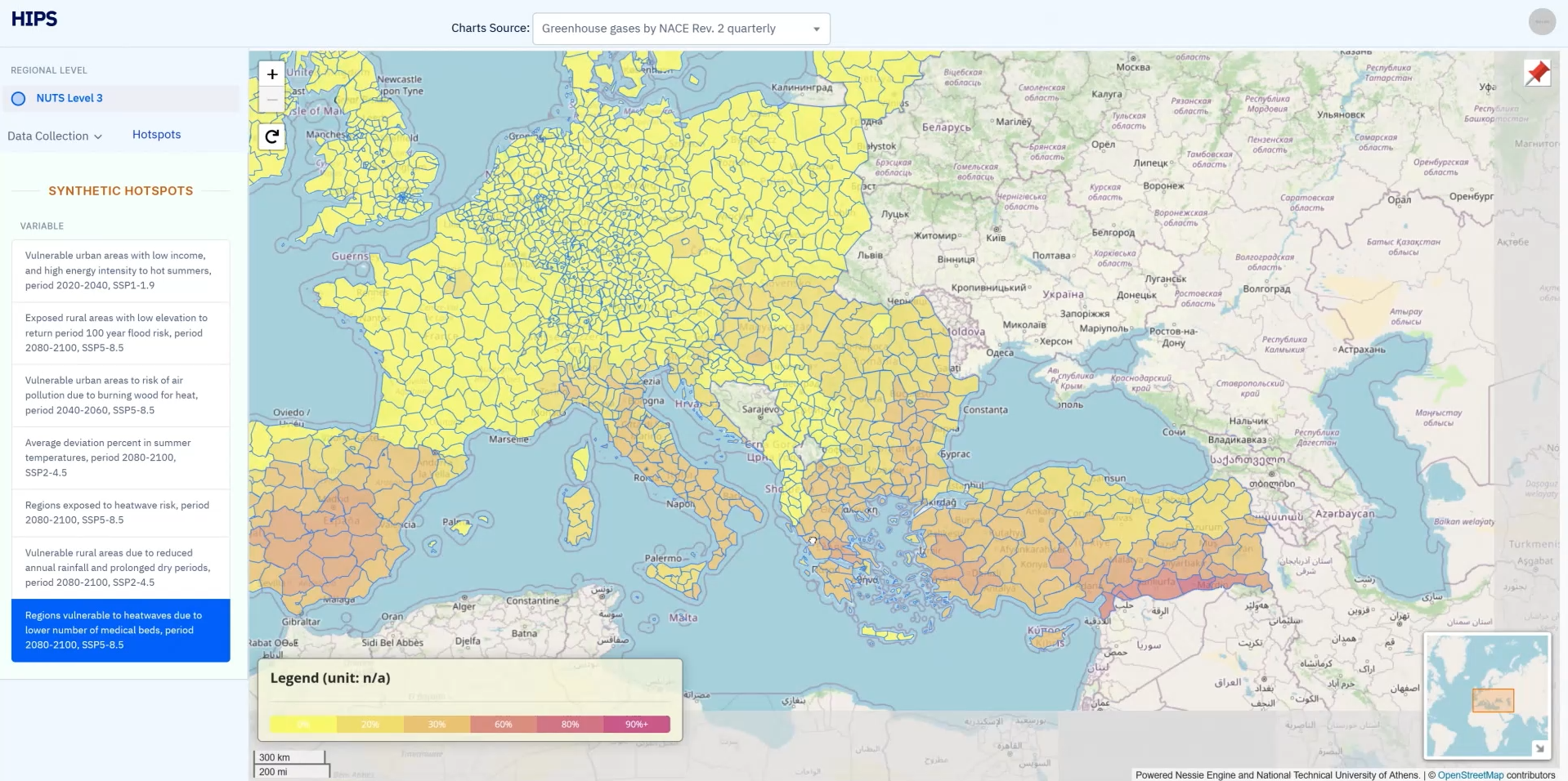
Mapping the at risk areas with the HIPS tool developed by IMPETUS

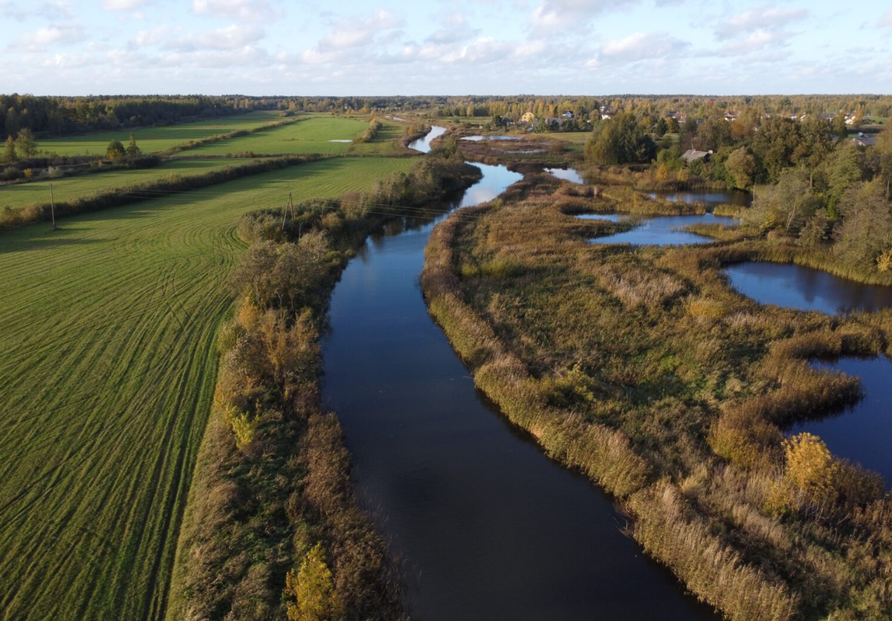
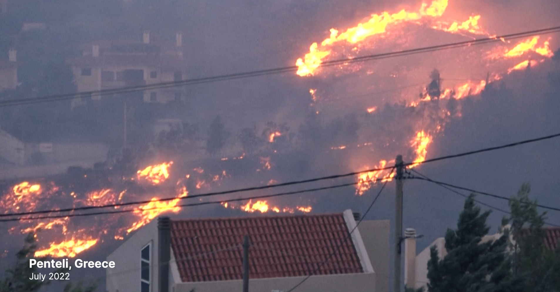
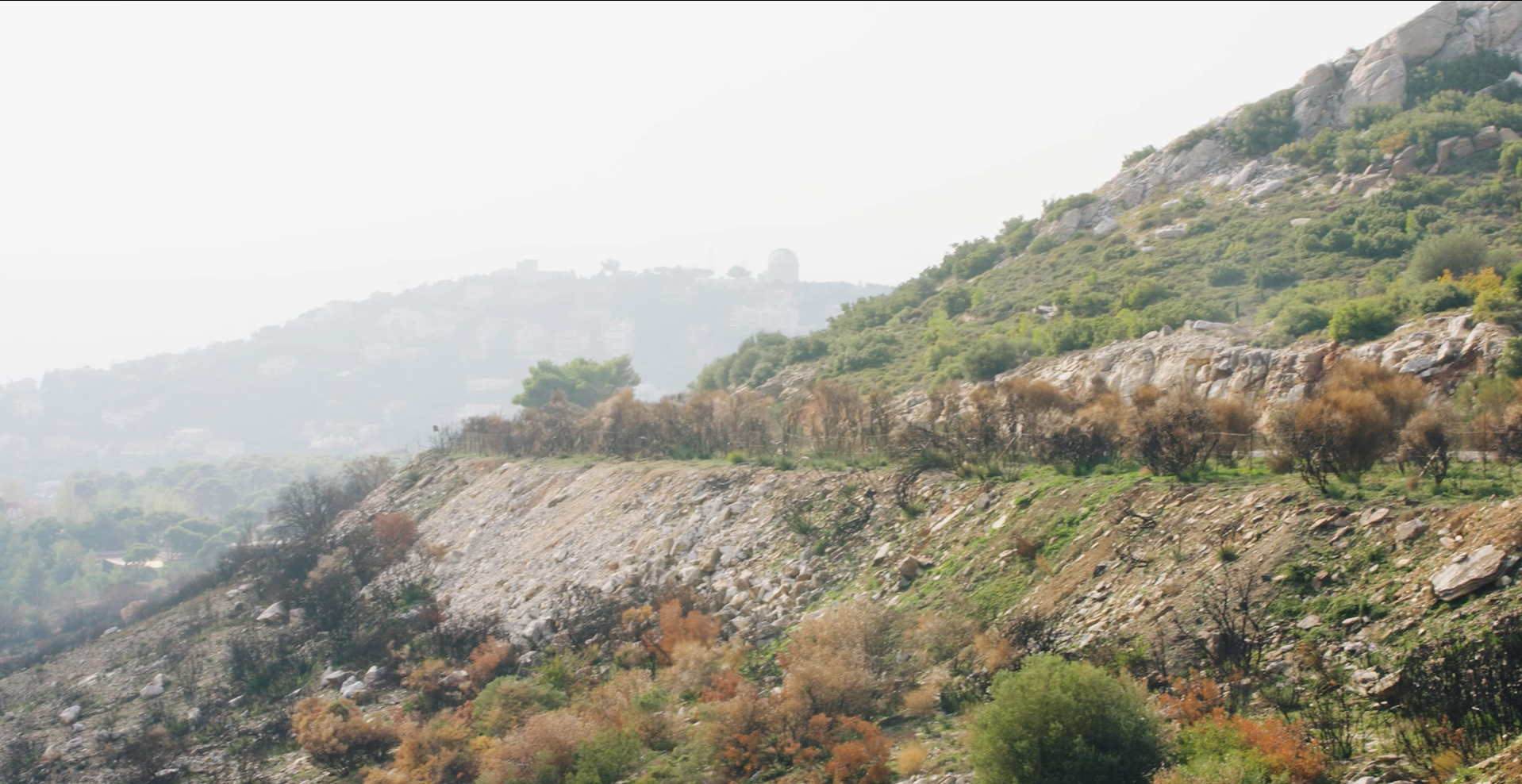
One particularly vulnerable area, Penteli, located about 25 kilometers northeast of Athens, has witnessed repeated wildfires, with the most recent occurring in July 2022. Local residents have faced the devastating aftermath, including burned cars, forests, and mountains.
These regions in Attica are struggling to recover from the damage they have already endured, and they lack the economic means and capacity to adapt to future catastrophes. Immediate assistance is crucial to help these communities.

The impact of climate change is not uniform, and it disproportionately affects vulnerable populations. Socio-economic factors, such as wealth, employment rates, and infrastructure, play a crucial role in determining a region’s adaptability or vulnerability to climate change. These vulnerable regions facing high climate risk are often referred to as ‘hotspots.’

In an effort to address these climate hotspots and prioritize areas for intervention, partners at in the EU-funded IMPETUS project are working on new digital tools such as the Hot-spot Identification and Prioritization Service – HIPS (still in beta phase). This online tool combines climate data from satellites with population information to identify regions lacking the means to cope with climate risk.

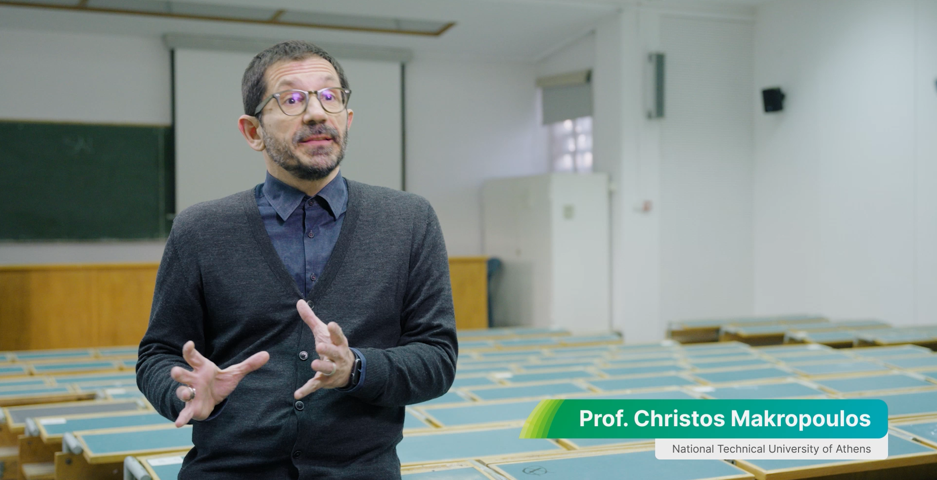
Professor Makropoulos notes, “The bottleneck in taking evidence-based or database decisions was the unavailability of data. Now, over the past few years, things have moved a lot, the collection of these types of information, the socioeconomic bottom-up information, if you like, has become more widespread.”

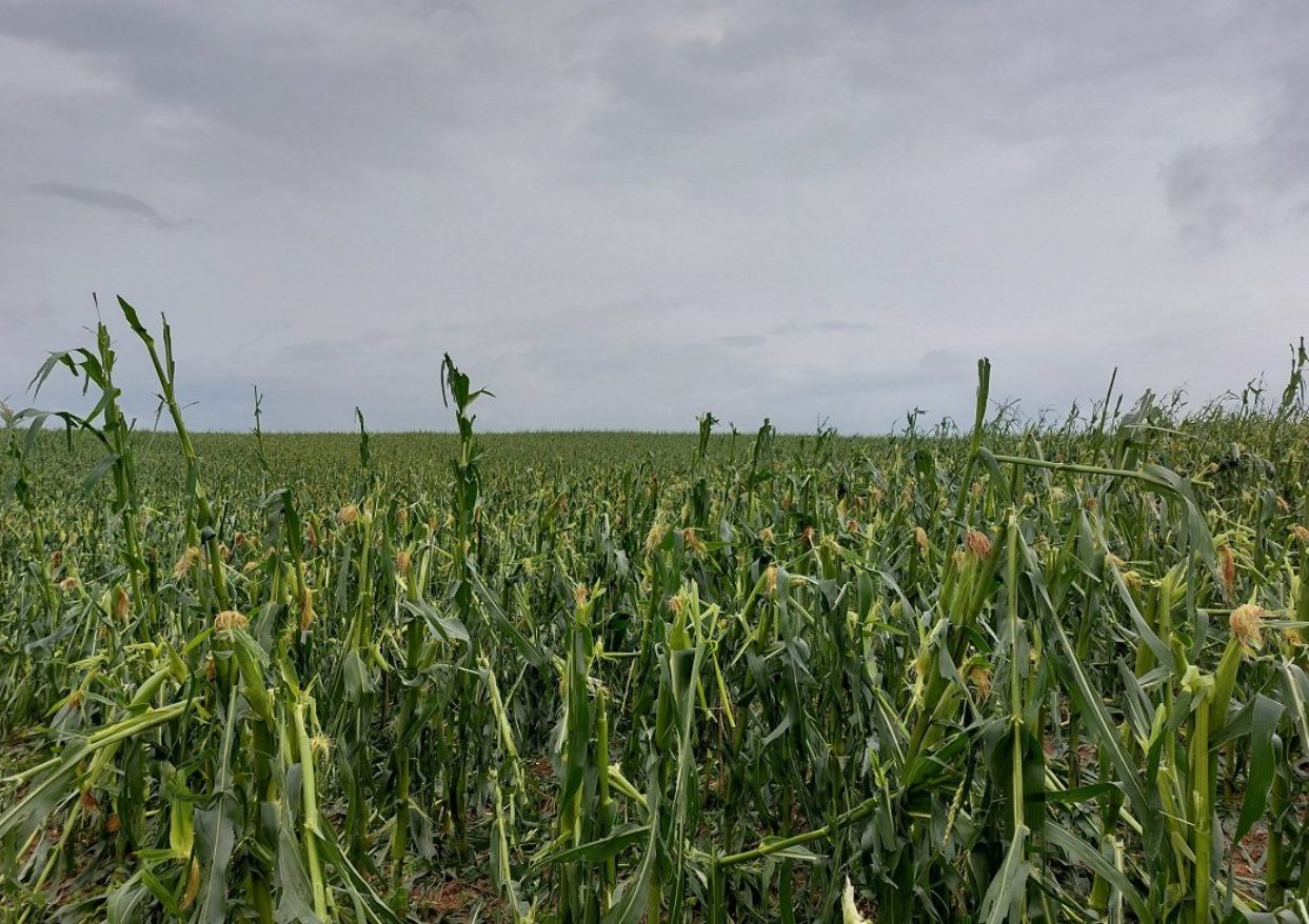
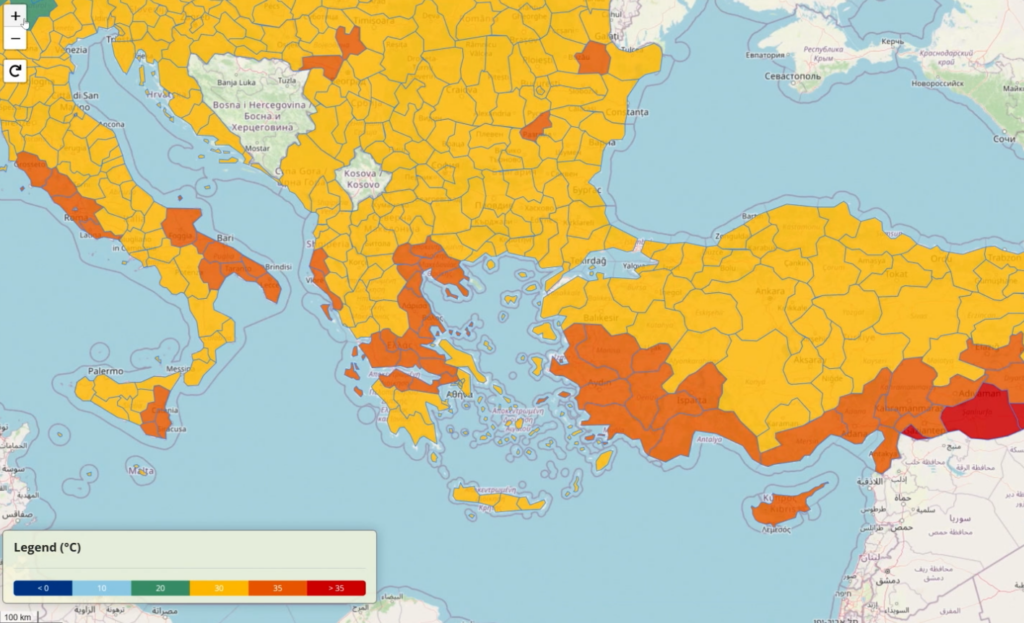
Within the context of the IMPETUS project, researchers predict that the Attica region will experience prolonged heatwaves, with temperatures projected to reach an average of 35 degrees Celsius within the next fifty years. Reduced rainfall is also expected in this Mediterranean region, making hotter and drier summers conducive to wildfires.

While some forest fire cases may result from arson, climate change accelerates the accumulation of dry, flammable material in the forests, enabling fires to spread more rapidly.

Taking preventive measuresĀ 

To address these issues, Greece is implementing a national forestation plan, covering nearly 180,000 acres over the next three years. This initiative is particularly crucial for the mountains of Attica, where wildfires have left barren landscapes that increase the risk of floods and mudflows.

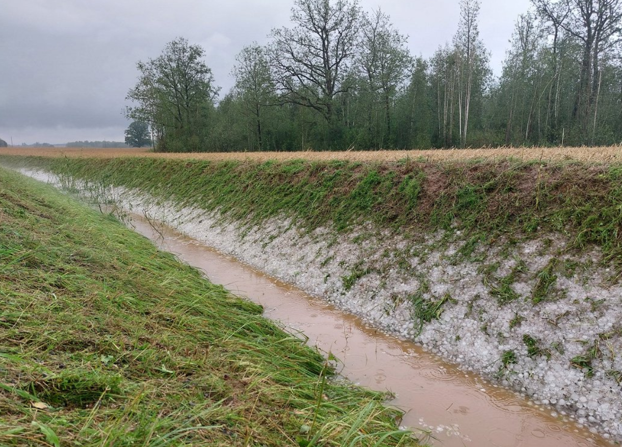
The Municipality of Mandra, which suffered flash floods in 2017, is another hotspot in the process of recovery. The economic and emotional impacts of these disasters have been profound, with residents still grappling with the aftermath years later.

In November 2022, flash floods hit central Greece, claiming 16 lives, while a November flood in Attica resulted in 25 deaths and hundreds of people becoming homeless.

The Greek government is taking comprehensive action, with new climate laws aimed at mitigation and adaptation. The targets include achieving carbon neutrality by 2050, reducing greenhouse gases by 55%, and transitioning to renewable energy sources by 2030. The “Hot-spot Identification and Prioritization Serviceā€ is expected to play a pivotal role in introducing new policies to support vulnerable populations.

Professor Aravossis underscores the importance of immediate sustainability actions, stating, “If we don’t take immediate sustainability actions, there will be a great risk for mankind’s survival.”

The fight against wildfires in Greece serves as a stark reminder of the urgency of addressing climate change and taking collective action to protect both the environment and vulnerable communities across the EU.

Ā 

Explore the HIPS tool (still in beta phase) and other IMPETUS solutions hereĀ 

icon_storm

Extreme events

Reports from European Environment Agency indicate that over the past decades, Europe has been experiencing frequent and severe weather and climate-related natural hazards likeĀ droughts, forest fires, heatwaves, storms and heavy rain. Climate change will make these events even more intense and more frequent. The summer of 2024 was the hottest on record for Europe and globally. While up to recently the extreme events were not considered usual in Zemgale region, experience from few previous seasons raise precautions. In summer 2024, there were heaviest rains that Latvia has experienced since 1945.

The impact of various extreme weather events has been particularly pronounced in places with high population density, such as the city of Jelgava. The region’s flat topography and land surface elevation relative to sea level result in high groundwater levels, which place additional stress on the city’s drainage and storm water drainage systems.

Issue

In Jelgava, the main challenges from rainfall include high risk of flooding and damage to infrastructure during prolonged rainfall. The Lielupe River and its tributary floodplains, as well as low topography and high-water tables, make drainage and stormwater drainage systems difficult to operate. The extreme rainfall of July 2024 confirms that the existing sewerage system is inadequate to cope with such situations.Ā  In the region’s rural areas, the threats affect both settlements and villages and fertile agricultural land, which plays an important role in the region’s economy.

Storms are the second most pronounced weather extreme in the region and, although on average winds are not expected to change significantly over the 21st century, by the end of the century (relative to the period 1971-2000) there will be a greater number of both windless days and stormy days per year.Ā  In recent years, the Zemgale region has been severely affected by thunderstorms and storms that have brought heavy rainfall in the form of both rain and hail, destroying agricultural crops and damaging infrastructure in many places. Severe storms in summer and early autumn, when trees and shrubs are still in leaves, have caused severe damage.

Climatologists believe that the current extreme values will become the norm in the future, while extreme weather events will cause even more damage. Climate models also predict an increase in total annual precipitation over the 21st century, with an average annual precipitation in Latvia of 775.7 [±60.0] mm for minor, 806.5 [±72.8] mm for moderate and 814.2 [±79.7] mm for major climate change. Predictions foresee substantial increase in duration of heatwaves from climatic norm of 8 days to 16 [±8] days for minor, 22 [±9] days for moderate and 33 [±12] days for major climate change.

Forecasting extreme weather events is quite complicated task, as these events are characterized by short-term nature, they and spatially limited, and thus short warning times are operational. Measures for adaptation to climate change thus become essential by preparedness for more days with extreme temperatures and for more extreme precipitation events. Decision-makers and local authorities need data and information to make the necessary preparations in advance by adapting to the different scenarios and possible consequences.

Within activities of IMPETUS project, the Adaptation Pathways are elaborated for Zemgale region with particular focus on flooding occurrences from river spring floods and heavy rain events:

  • Adaptation pathways are developed to support in better management of river flood risks and heavy rain floods (flash floods).
  • Aimed to implement a set of measures for reducing the frequency and extent of flooded areas in both rural (agricultural) land and urban settlements.
  • In exchange with the stakeholders, adaptation options are identified, assessed and included in the pathways to increase adaptive capacity in Zemgale region.
  • Structural measures, e.g., upgrading of existing drainage and stormwater drainage systems, and aligning them with nature-based solutions for water retention in rural and urban areas, and cleaning of riverbeds are considered.
  • Non-structural measures for improving flood risk early warning system (EWS), increasing awareness of inhabitants and improving the efficiency of actions of competent authorities in case of floor risks are addressed.
icon_flood

Flooding

Zemgale is a very flat region, located in a lowland area with a high density of rivers. The Lielupe River is characterized by its slow course, due to Zemgale’s flat topography and the low gradient of the riverbed. The height of the Lielupe floodplain does not exceed 1 m above water level. Downstream of Jelgava, the Lielupe River drops only 5-10 cm/km. The riverbed is much lower than the average level of the Baltic Sea.

Issue

Climate change in the Zemgale region by the end of the 21st century will have a major impact on the hydrological regime.Ā  One of the most significant changes will be increased precipitation: under a moderate climate change scenario, winter precipitation will increase by 24-38%, while under a significant climate change scenario, precipitation is expected to increase by as much as 35-51%. Maximum daily precipitation will increase by about 3-6 mm, in some places by as much as 10-12 mm. On a seasonal basis, the greatest increases in precipitation are expected during the winter and spring seasons, so that the risk of flash flooding increases significantly during the cool season, when evapotranspiration is not intense. Periods of high rainfall will alternate with prolonged droughts, which will have a particular impact on heavy rainfall events, increasing the frequency of flash floods. During heavy rainfall, short, localised flooding can be observed in both larger and smaller towns, as well as in flat rural areas.

One of the activities in Zemgale in the IMPETUS project is the improvement of the Flood Early Warning System using the HEC-RAS 2D model. This model simulates water flow in two dimensions, which is particularly useful for flood modelling and forecasting. The HEC-RAS 2D model uses two-dimensional Diffusion Wave Equations to calculate the water flow. The developed model performs 2D

Key Benefits of Using Such a Hydraulic Model

  1. Accuracy and Detail: The HEC-RAS 2D model provides high accuracy and detail, which is essential for flood risk assessment and management.
  2. Integration: The HEC-RAS 2D model can be integrated with other geographic information systems (GIS), facilitating data processing and visualization.
  3. Early Warning Systems: The model is crucial for the development of early warning systems, as it allows for the prediction of flood spread and impact, thereby helping to timely warn residents and take necessary measures.
  4. This solution automatically reads hydrological forecast data from the forecast system of the Latvian Environment, Geology and Meteorology Centre.

These model results are crucial for the operation of the Early Warning System, which uses this data to identify potential flood areas and prepare warnings at the property (cadastral unit) level.

icon_heat

High temperatures

Record-breaking summertime temperatures have been recorded in the Netherlands in recent years. With global temperatures rising, such extreme weather events will occur more often, and for longer periods. Prolonged high temperatures, with warm nights as well as hot days, can cause heat stress* and related health issues, particularly among city populations.

*Heat stress occurs when the human body cannot get rid of excess heat and can impact wellbeing through conditions such as heat stroke, exhaustion, cramps and rashes.

"We want to enable municipality decision makers who are working on spatial developments to identify heat stress 'hot spots' and cool areas, analyse the future effects of climate change, and model the effect of different heat stress-reducing measures. The tool must provide them with an easy starting point to integrate heat stress risks in their projects."

Issue

Despite the cooling effect of the sea in the region of Zeeland, the growing risk of heat stress has become a concern.

Elderly and other vulnerable people are more impacted by the effects of prolonged heat, which can cause headaches, dizziness, insomnia and other health issues – even death. Excess temperatures also affect general comfort and liveability of cities. Water quality can be reduced, both for drinking and swimming, and infrastructure can be affected. Buildings and concrete surfaces trap heat, potentially leading to damage, and release it during the night, keeping temperatures warm.

During heat waves, it is important that everyone has access to a cool and comfortable place. Appropriate spatial planning can help to decrease and deal with heat stress.Ā Environmental factors like water bodies, trees, and shade have a major impact on stress caused by high temperatures. Therefore, planting trees, removing concrete surfaces, creating green roofs and cool spaces can improve our comfort and health. The IMPETUS Atlantic team is developing a digital tool to support regional decision making for city planning to address these needs.

icon_flood

Flood risk

By 2050, sea-level within this region is predicted to rise by 15-40 cm, with more frequent extreme weather and more (severe) storms triggered by climate change. These changes will exacerbate the natural risk of flooding in the IMPETUS ‘Atlantic’ region, because it is surrounded by rivers and the sea, and is below sea level.

*Risk takes into account two aspects; the chance that an event will occur and the negative impact of such an event once it occurs. When there is a low chance that an event will occur, but its impacts are huge, the risk is still significant.

ā€œIn the Netherlands, an extensive system of dikes protects us against sea and river flooding. We have always put our faith in this defence and focused almost solely on flood prevention. However, pressure on our system will increase with climate change and rising sea levels. To adapt and maintain a safe living environment, we should develop other safety measures, like more robust spatial planning and contingency plans."

Issue

Rotterdam city, is located in Rijnmond – ‘mouth of the Rhine’. The Rhine river flows through this densely populated area and characterises the region. Protections such as sea dikes and storm surge barriers have been constructed to protect the region, but flooding still occurs.

People living in the city are accustomed to seeing smaller floods. The changing climate affects the interplay between rainfall, river levels and sea storms, increasing the flooding risk. Water levels could rise by a few metres, even in populated areas, with potentially massive impacts. 

Mitigation measures such as storm surge barriers reduce the chance that high water reaches the city, but to minimise the impact of floods when they do occur, adaptation strategies are also needed. A city that can adapt to be safe from floods must be carefully designed. How best to design such an adaptive city?

Critical infrastructure, such as hospitals and evacuation routes, must be accessible at all times. Planning how to best protect them, homes and lives is complex. Flood water behaves in a complex way and flood risks show strong spatial variations. The IMPETUS Atlantic team is developing a digital tool to support regional decision making for adaptive city planning. 

icon_factory

Energy and waste water

To become climate-neutral by 2050, climate mitigation* efforts are crucial in our strategy for how to deal with climate change. Reducing our energy consumption is a significant mitigation step. In the Netherlands, 15% of energy is consumed in the Rijnmond area around the port of Rotterdam, in large part by a major petrochemical industry cluster.

*Climate mitigation encompasses measures such as technologies, processes, or practices that reduce carbon emissions or enhance the sinks of greenhouse gases.

Issue

The Rotterdam port petrochemical industry cluster is Europe’s largest. It consumes 70% of the Rijnmond region’s energy. A large part of this energy is wasted (64%, 203 petajoules). More than half of that energy is lost with wastewater. In addition, most energy processes within these industries rely on fossil fuels, which has a significant impact on the climate.

Energy use must be minimised and fossil fuels should be replaced by renewable sources if climate change is to be mitigated. Electrification of processes opens up the possibility to use more renewable energy and can greatly impact decarbonisation. Recovering wasted heat would significantly reduce energy consumption and is a first step towards a more circular industry.Ā 

Supporting industries in a transition towards climate-neutrality depends on identifying how best to reduce their carbon footprint without sacrificing production or performance. The IMPETUS Atlantic team is creating a digital tool that supports decision making about pathways towards an effective energy transition for EU industry.

icon_fertilizer

Eutrophication

Due to its fertile soils, Zemgale region in Latvia is characterised by an intensive agriculture where large-scale farming dominates. Agricultural activities are well developed and focus on the cultivation of crops.

During the last decade, the area of croplands in the region has increased along with application of high amounts of mineral fertilisers. Excessive loading of nutrients (nitrogen and phosphorus) lead to eutrophication of water bodies e.g., causing overgrowing of rivers, and thus putting a pressure on biodiversity and natural habitats.

Issue

Municipal wastewater effluent is another source of eutrophication in the region. Quite often performance of wastewater treatment facilities is not sufficiently effective to ensure complete purification of waste waters causing water pollution with nutrients. As the result the ecological water quality of the rivers in Zemgale region is mostly moderate or bad.

According to water quality monitoring data of 88 waterbodies located within the Lielupe River basin district, there are 53 waterbodies having significant disperse pollution load and 14 water bodies where point source pollution load prevails (Source: LEGMC, 2024).

Climate change related increase of temperature catalyses eutrophication processes in water bodies. Climate models predict continuation of the increase of temperature thus intensifying the symptoms of eutrophication in freshwaters. Therefore, along with reduction of use of fertilisers, improvement of municipal wastewater treatment facilities, application of additional measures to prevent nutrient runoffs from agricultural land and urban environment to water bodies is of pivotal importance.

Together with regional and local stakeholders in Zemgale region, IMPETUS project partners in Latvia are developing Zemgale regional climate change adaptation plan, that will highlight the possibilities and intention of implementation of nature base solutions, e.g., constructed wetlands in Zemgale region to reduce the nutrient leakages/runoffs, reduce eutrophication intensity and improve the quality of surface waters.